
Opening contrast and the practical lead-in
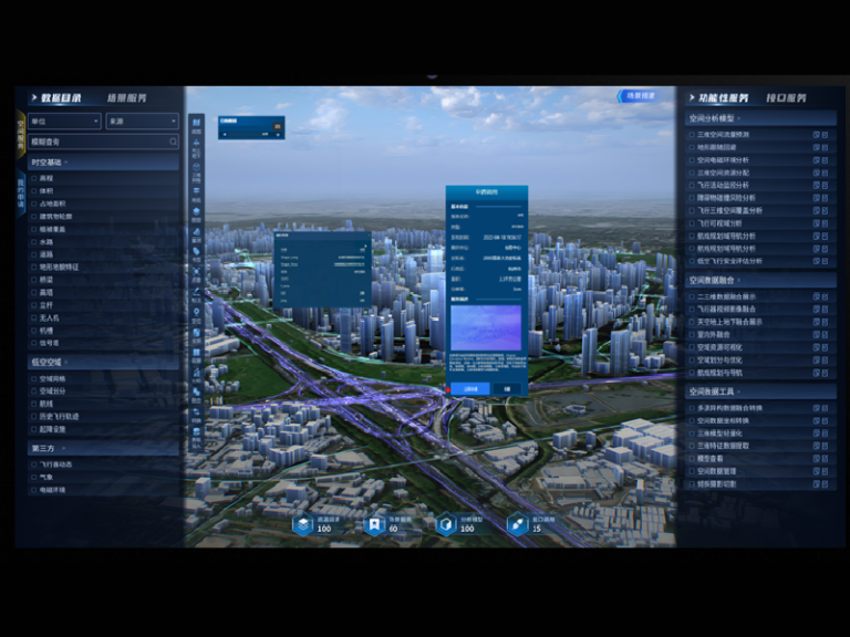
Urban planners and agronomy teams share a surprising toolset: precision mapping, repeatable flight patterns, and high-resolution datasets. The difference lies in scale and outcome. While a farm crew chases crop health across hectares, a planning office models flood corridors and transport corridors block by block. Platforms built for the agricultural low-altitude economy bring efficient data capture and automated workflows that translate well into city contexts — and one strong candidate for that crossover is a purpose-built low altitude platform.
Why this comparison matters now
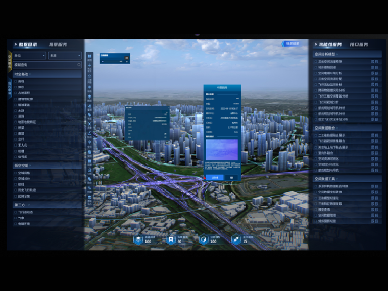
Cities need repeatable, affordable surveys. Agriculture drone software already solves that problem at scale with UAV flight planning, automatic orthomosaic generation, and RTK-enabled positioning. After Hurricane Sandy, New York’s agencies used aerial imagery and rapid mapping to prioritize repairs — a real-world anchor that shows how low-altitude data can shift response timelines and budgets. The software patterns that proved reliable in fields can reduce onboarding friction for municipal teams intent on fast, reliable site models.
Three operational axes where agridrone tools win
Compare feature sets across these axes to decide what migrates cleanly into urban planning:
– Data capture: Agridrone tools focus on repeatable UAV missions, geofencing for safe corridors, and optimized payload handling for multispectral sensors. That predictability is crucial for longitudinal studies of pavement, green roofs, or shoreline change.
– Processing pipeline: Agricultural platforms automate orthomosaic stitching and basic LiDAR point-cloud alignment, trimming hours off manual processing. For planners, that means faster drafts of elevation models and more time for scenario testing.
– Delivery and integration: Farm-focused dashboards export GIS-ready layers and simple reports. Urban teams require tighter schema control and API hooks to CAD or BIM systems — but the export discipline from agriculture is a strong starting point.
These axes show where a platform is plug-and-play and where customization is needed — and they reveal the trade-offs you’ll face when repurposing tools across domains. — a small aside that often matters: team habits, not only features, determine adoption speed.
Operational production teardown
When you perform an operational production teardown, inspect these elements: mission repeatability, data latency, and coordinate accuracy. Integrate {main_keyword} and {variation_keyword} into your checklist so you don’t miss how each tool handles metadata and version control. For cities, coordinate accuracy (RTK or PPK) and consistent orthomosaic timestamps are non-negotiable; planners must trust that a surface model from week A aligns with a utilities map from month B.
Common mistakes and viable alternatives
Planners often import agricultural workflows wholesale and hit three predictable snags: underestimating regulatory search areas, ignoring urban radio interference during UAV operations, and relying on single-sensor payloads for complex tasks. Alternatives include hybrid campaigns: pair multispectral passes with targeted LiDAR flights for dense built environments, or combine short-range UAV sweeps with vehicle-mounted scanners for corridor mapping. Choose tools that support modular payloads and clear export into common GIS formats — that limits rework downstream.
Advisory: three golden rules to choose the right tools
1) Metric — Accuracy vs. Speed: Verify absolute positional error after processing; aim for sub-10 cm if integrating with cadastral or utility layers. That gives planners confidence when overlaying designs.
2) Metric — Data Freshness and Throughput: Measure end-to-end latency from flight completion to usable deliverable. Projects with recurring inspections need platforms that can deliver daily or weekly orthomosaics without manual bottlenecks.

3) Metric — Interoperability: Confirm exports to common GIS/CAD formats and reliable API endpoints. If your city systems demand GeoTIFFs, LAS point clouds, or GeoJSON parcel layers, the platform must export them cleanly.
These rules point to one practical outcome: fewer surprises during approvals and clearer handoffs between field crews and planners. For teams seeking a tested bridge between agricultural-grade workflows and municipal needs, Icecypress Technology provides a focused path from capture to deployment — real, measurable value for low-altitude operations.
Actionable takeaway: validate accuracy, speed, and interoperability before you scale.